File:Kujawsko-pomorskie mapa administracyjna.png
Jump to navigation
Jump to search
Size of this preview: 630 × 599 pixels. Other resolutions: 252 × 240 pixels | 505 × 480 pixels | 807 × 768 pixels | 1,076 × 1,024 pixels | 1,992 × 1,895 pixels.
Original file (1,992 × 1,895 pixels, file size: 753 KB, MIME type: image/png)
Captions
Captions
Add a one-line explanation of what this file represents
Summary[edit]
| Description |
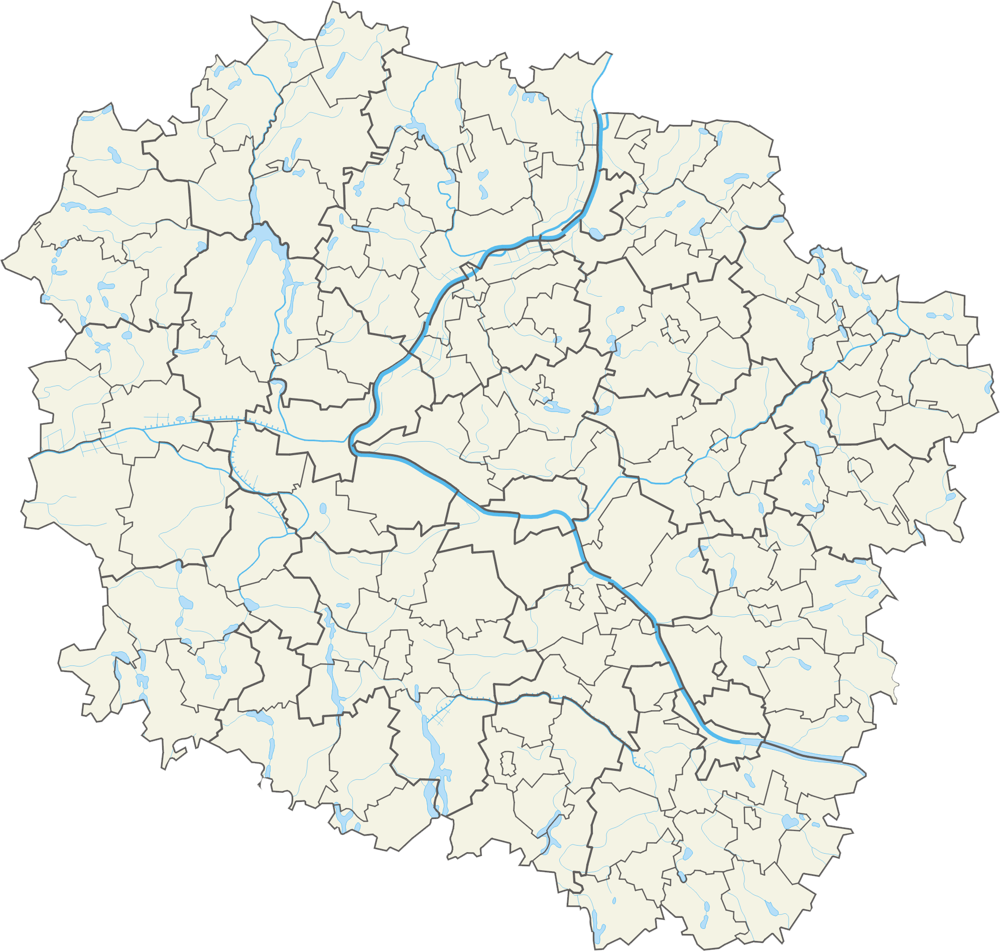
Polski: Województwo kujawsko-pomorskie – powiaty i gminy Współrzędne graniczne mapy:
|
| Date | |
| Source | Own work |
| Author | Aotearoa |
Licensing[edit]
I, the copyright holder of this work, hereby publish it under the following license:
This file is licensed under the Creative Commons Attribution 3.0 Unported license.
- You are free:
- to share – to copy, distribute and transmit the work
- to remix – to adapt the work
- Under the following conditions:
- attribution – You must give appropriate credit, provide a link to the license, and indicate if changes were made. You may do so in any reasonable manner, but not in any way that suggests the licensor endorses you or your use.
File history
Click on a date/time to view the file as it appeared at that time.
| Date/Time | Thumbnail | Dimensions | User | Comment | |
|---|---|---|---|---|---|
| current | 09:43, 28 October 2012 | | 1,992 × 1,895 (753 KB) | Aotearoa (talk | contribs) | =={{int:filedesc}}== {{Information |description={{pl|1=Województwo kujawsko-pomorskie – powiaty i gminy<br>Współrzędne graniczne mapy: * N: 53.7809° N * S: 53.0310° N * W: 17.2471° E * E: 19.7617° E}} |date=2012-10-26 15:34:32 |source={{own}}... |
You cannot overwrite this file.
File usage on Commons
There are no pages that use this file.
File usage on other wikis
The following other wikis use this file:
- Usage on be.wikipedia.org
- Торунь
- Новы Двур Крулеўскі
- Улацлавак
- Быдгашч
- Інаўроцлаў
- Грудзёндз
- Хэлмна
- Бжэсць Куяўскі
- Аляксандраў Куяўскі
- Хэлмжа
- Барцін
- Шаблон:На карце/Польшча Куяўска-Паморскае ваяводства
- Голюб-Добжынь
- Коваль
- Кавалева Паморске
- Жнін
- Брадніца
- Вамбжэзьна
- Накла над Натэцян
- Сэмпульна Краеньске
- Магільна (горад)
- Ліпна (горад)
- Тухоля
- Свецце
- Рыпін
- Радзееў
- Яновец Велькапольскі
- Ябланова Паморске
- Добжынь над Віслан
- Ізбіца Куяўска
- Любень Куяўскі
- Камень Краеньскі
- Пётркаў Куяўскі
- Солец Куяўскі
- Радзынь Хэлміньскі
- Пакасць
- Янікова
- Крушвіца
- Гняўкова
- Новэ (горад)
- Няшава
- Цехацінак
- Гужна
- Каранова
- Лабішын
- Ласін
- Скэмпэ
- Стшэльна
- Венцбарк
- Любранец
View more global usage of this file.