File:Vialikaje Kniastva Litoŭskaje. Вялікае Княства Літоўскае (T. Lotter, 1780).jpg
Jump to navigation
Jump to search

Size of this preview: 715 × 599 pixels. Other resolutions: 286 × 240 pixels | 573 × 480 pixels | 917 × 768 pixels | 1,222 × 1,024 pixels | 2,444 × 2,048 pixels | 3,988 × 3,342 pixels.
Original file (3,988 × 3,342 pixels, file size: 5.39 MB, MIME type: image/jpeg)
Captions
Captions
Add a one-line explanation of what this file represents
Summary[edit]
.jpg&action=edit§ion=1)
| Description |
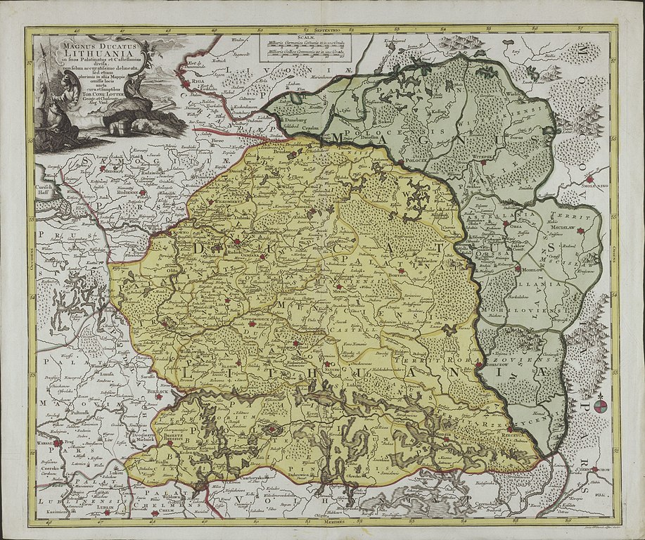
Беларуская (тарашкевіца): Вялікае Княства Літоўскае (Vialikaje Kniastva Litoŭskaje). Мапа |
| Date | |
| Source | Magnus ducatus Lithuania in suos palatinatus et castellanias divisa, non solum accuratissime delineata, sed etiam plurimis in aliis mappis omissis locis |
| Author | Tobias Conrad Lotter |
Licensing[edit]
.jpg&action=edit§ion=2)
|
This work is in the public domain in its country of origin and other countries and areas where the copyright term is the author's life plus 100 years or fewer. | |
| This file has been identified as being free of known restrictions under copyright law, including all related and neighboring rights. | |
File history
Click on a date/time to view the file as it appeared at that time.
| Date/Time | Thumbnail | Dimensions | User | Comment | |
|---|---|---|---|---|---|
| current | 14:25, 8 February 2020 | | 3,988 × 3,342 (5.39 MB) | Kazimier Lachnovič (talk | contribs) | {{Information |description ={{be-tarask|1=Вялікае Княства Літоўскае (Vialikaje Kniastva Litoŭskaje). Мапа}} |date =1780 |source =Magnus ducatus Lithuania in suos palatinatus et castellanias divisa, non solum accuratissime delineata, sed etiam plurimis in aliis mappis omissis locis |author =Tobias Conrad Lotter }} == {{int:license-header}} == {{PD-old-100}} Category:Old maps of Grand Duchy of Lithuania [[Category:Tobias Lot... |
You cannot overwrite this file.
File usage on Commons
There are no pages that use this file.
File usage on other wikis
The following other wikis use this file:
- Usage on be-tarask.wikipedia.org
- Usage on lt.wikibooks.org
- Usage on uk.wikipedia.org
.jpg&oldid=863995435)