File:LocationAmericas.png
Jump to navigation
Jump to search

Size of this preview: 800 × 407 pixels. Other resolutions: 320 × 163 pixels | 640 × 326 pixels | 1,024 × 521 pixels | 1,280 × 651 pixels | 2,759 × 1,404 pixels.
Original file (2,759 × 1,404 pixels, file size: 99 KB, MIME type: image/png)
Captions
Captions
Add a one-line explanation of what this file represents

|
File:Location of America.svg is a vector version of this file. It should be used in place of this PNG file when not inferior.
File:LocationAmericas.png → File:Location of America.svg
For more information, see Help:SVG. |
 |
Summary[edit]
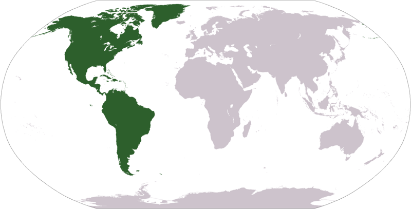
Deutsch: Weltkarte mit Fokus auf Amerika
English: World map depicting America
Esperanto: Mondmapo bildiganta Amerikon
Español: Ubicación de América
map adapted from PDF world map at CIA World Fact Book
Licensing[edit]
This image is in the public domain because it contains materials that originally came from the United States Central Intelligence Agency's World Factbook.
|
 |
File history
Click on a date/time to view the file as it appeared at that time.
| Date/Time | Thumbnail | Dimensions | User | Comment | |
|---|---|---|---|---|---|
| current | 12:31, 19 January 2008 | | 2,759 × 1,404 (99 KB) | F l a n k e r (talk | contribs) | Transparency |
| 19:11, 12 October 2005 |  | 2,759 × 1,404 (55 KB) | E Pluribus Anthony~commonswiki (talk | contribs) | World map: Americas (location) | |
| 15:06, 29 April 2005 |  | 1,377 × 699 (16 KB) | Ghalas (talk | contribs) | Extracted from CIA World Factbook PDF world map, then rasterized and colored. {{PD-USGov-CIA-WF}} |
You cannot overwrite this file.
File usage on Commons
The following 7 pages use this file:
File usage on other wikis
The following other wikis use this file:
- Usage on als.wikipedia.org
- Usage on ar.wikipedia.org
- البحر الأبيض المتوسط
- آسيا
- أوروبا
- قارة
- المحيط الهندي
- المحيط الهادئ
- القارة القطبية الجنوبية
- أوقيانوسيا
- حضارة المايا
- أمريكا الشمالية
- أمريكا الجنوبية
- أوروبا الشرقية
- القطب الشمالي
- أوروبا الوسطى
- أوروبا الشمالية
- القوقاز
- شمال إفريقيا
- بحر
- تاريخ أمريكا الشمالية
- المنطقة القطبية الجنوبية
- المحيط المتجمد الشمالي
- القرن الإفريقي
- غرب آسيا
- آسيا الوسطى
- جنوب آسيا
- شرق آسيا
- جنوب شرق آسيا
- المحيط الجنوبي
- الكاريبي
- أمريكا الوسطى
- جزر الأنتيل
- أوروبا الغربية
- شرق إفريقيا
- ميلانيزيا
- بولنيزيا
- ميكرونيسيا
- بوابة:آسيا
- بوابة:أوروبا
- بوابة:الأمريكيتان
- أمريكا اللاتينية
- غرب إفريقيا
- العالم الجديد
- الشرق الأدنى
- الشعوب الأصلية في الأمريكتين
- القطب الجنوبي
- محيط (جغرافيا)
- الأمريكتان
- شبه القارة الهندية
- الاستعمار الأوروبي للأمريكيتين
View more global usage of this file.