File:Gujarat map with Gir Nat Park-ar.png
Jump to navigation
Jump to search

Size of this preview: 753 × 600 pixels. Other resolutions: 302 × 240 pixels | 603 × 480 pixels | 965 × 768 pixels | 1,183 × 942 pixels.
Original file (1,183 × 942 pixels, file size: 316 KB, MIME type: image/png)
Captions
Captions
Add a one-line explanation of what this file represents
Summary[edit]
| Description | |
| Date | (UTC) |
| Source |
This file was derived from: Gujarat map with Gir Nat Park-fr.svg: |
| Author |
|
| This is a retouched picture, which means that it has been digitally altered from its original version. Modifications: translated to Arabic. The original can be viewed here: Gujarat map with Gir Nat Park-fr.svg:
|
Licensing[edit]
I, the copyright holder of this work, hereby publish it under the following licenses:
This file is licensed under the Creative Commons Attribution-Share Alike 3.0 Unported license.
- You are free:
- to share – to copy, distribute and transmit the work
- to remix – to adapt the work
- Under the following conditions:
- attribution – You must give appropriate credit, provide a link to the license, and indicate if changes were made. You may do so in any reasonable manner, but not in any way that suggests the licensor endorses you or your use.
- share alike – If you remix, transform, or build upon the material, you must distribute your contributions under the same or compatible license as the original.

|
Permission is granted to copy, distribute and/or modify this document under the terms of the GNU Free Documentation License, Version 1.2 or any later version published by the Free Software Foundation; with no Invariant Sections, no Front-Cover Texts, and no Back-Cover Texts. A copy of the license is included in the section entitled GNU Free Documentation License. |
You may select the license of your choice.
Original upload log[edit]
This image is a derivative work of the following images:
- File:Gujarat_map_with_Gir_Nat_Park-fr.svg licensed with Cc-by-sa-3.0, GFDL
- 2009-05-12T17:20:09Z Sting 1180x940 (591038 Bytes) Completely new version using GIS data and software ; standard colours
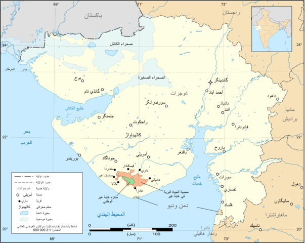
- 2006-11-16T19:42:57Z Sting 1100x900 (467550 Bytes) {{Information| |Description=Map in French of the Indian state Gujarat, with the Gir Wild Life Santuary and National Park |Source=Own workBackground reference map : Microsoft Encarta atlas (1999 edition)Gujarat locator map : [
Uploaded with derivativeFX
File history
Click on a date/time to view the file as it appeared at that time.
| Date/Time | Thumbnail | Dimensions | User | Comment | |
|---|---|---|---|---|---|
| current | 13:56, 6 July 2012 | | 1,183 × 942 (316 KB) | باسم (talk | contribs) | == {{int:filedesc}} == {{Information |Description={{ar|خارطة ولاية غوجرات الهندية باللغة العربية، ويظهر فيها [[:ar:غابة غير|منتزه غابة غير الوطني للحياة ... |
You cannot overwrite this file.
File usage on Commons
There are no pages that use this file.
File usage on other wikis
The following other wikis use this file: