File:South Africa Northern Cape location map.svg
Jump to navigation
Jump to search

Size of this PNG preview of this SVG file: 589 × 599 pixels. Other resolutions: 236 × 240 pixels | 472 × 480 pixels | 755 × 768 pixels | 1,007 × 1,024 pixels | 2,014 × 2,048 pixels | 1,054 × 1,072 pixels.
Original file (SVG file, nominally 1,054 × 1,072 pixels, file size: 296 KB)
Captions
Captions
N: 24.25° S S: 33.25° S W: 16° E E: 26° E
Summary[edit]
| Description |
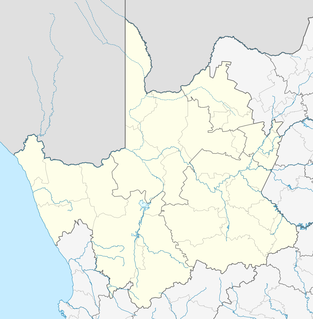
English: Location map of the Northern Cape
Equirectangular projection, N/S stretching 113%. Geographic limits of the map:
|
| Date | |
| Source |
|
| Author | Htonl |
| Permission (Reusing this file) |
I, the copyright holder of this work, hereby publish it under the following license: This file is licensed under the Creative Commons Attribution-Share Alike 3.0 Unported license.
|
| Other versions | File:South Africa Northern Cape relief location map.svg, File:Blank map of the Northern Cape (2011).svg |
.svg)
File history
Click on a date/time to view the file as it appeared at that time.
| Date/Time | Thumbnail | Dimensions | User | Comment | |
|---|---|---|---|---|---|
| current | 22:28, 6 January 2013 | | 1,054 × 1,072 (296 KB) | Htonl (talk | contribs) | == {{int:filedesc}} == {{Information |Description ={{en|Location map of the en:Northern Cape Equirectangular projection, N/S stretching 113%. Geographic limits of the map: * N: 24.25° S * S: 33.25° S * W: 16° E * E: 26° E}} |Source ... |
You cannot overwrite this file.
File usage on Commons
There are no pages that use this file.
File usage on other wikis
The following other wikis use this file:
- Usage on af.wikipedia.org
- Kimberley
- Upington
- Fraserburg
- Orania
- Sutherland
- Alexanderbaai
- Onseepkans
- Pella
- Postmasburg
- Calvinia
- Augrabies- Nasionale Park
- Williston, Noord-Kaap
- Garies
- Kamieskroon
- Vioolsdrif
- Steinkopf
- Hopetown
- Douglas, Noord-Kaap
- Okiep
- Concordia
- Port Nolloth
- Springbok, Noord-Kaap
- Pofadder, Noord-Kaap
- Carnarvon
- Victoria-Wes
- Hutchinson
- Hondeklipbaai
- Henkries
- Goodhouse
- Leliefontein
- Prieska
- Colesberg
- Mesklip
- Warrenton, Noord-Kaap
- Kuruman
- Hotazel
- Jan Kempdorp
- Loeriesfontein
- Vosburg
- Strydenburg
- Kenhardt
- Marydale
- De Aar
- Hartswater
- Groblershoop
- Campbell
- Loxton
- Windsorton
- Van Wyksvlei
- Richmond, Noord-Kaap
View more global usage of this file.