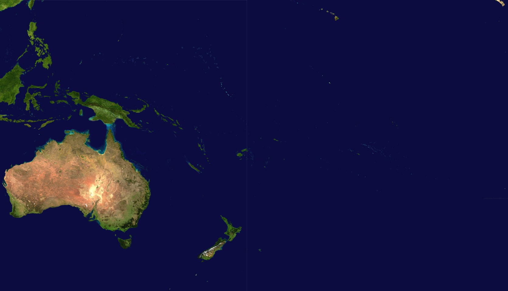
File:Oceania satellite.jpg
Jump to navigation
Jump to search
Size of this preview: 800 × 458 pixels. Other resolutions: 320 × 183 pixels | 640 × 367 pixels | 1,024 × 587 pixels | 1,670 × 957 pixels.
Original file (1,670 × 957 pixels, file size: 111 KB, MIME type: image/jpeg)
Captions
Captions
Add a one-line explanation of what this file represents
source: http://visibleearth.nasa.gov/images/2433/land_shallow_topo_21600.tif archive copy at the Wayback Machine
| This file is in the public domain in the United States because it was solely created by NASA. NASA copyright policy states that "NASA material is not protected by copyright unless noted". (See Template:PD-USGov, NASA copyright policy page or JPL Image Use Policy.) | ||
 |
Warnings:
|
File history
Click on a date/time to view the file as it appeared at that time.
| Date/Time | Thumbnail | Dimensions | User | Comment | |
|---|---|---|---|---|---|
| current | 18:54, 14 June 2023 | | 1,670 × 957 (111 KB) | Treetoes023 (talk | contribs) | Didn't work the first time so I'm trying again. |
| 18:46, 14 June 2023 |  | 1,664 × 961 (111 KB) | Treetoes023 (talk | contribs) | Zoomed in image to remove unnecessary areas outside of Oceania. | |
| 08:05, 19 August 2005 |  | 2,349 × 1,155 (755 KB) | っ (talk | contribs) | source: http://visibleearth.nasa.gov/images/2433/land_shallow_topo_21600.tif {{PD-USGov-NASA}} Category:Maps of Oceania Oceania |
You cannot overwrite this file.
File usage on Commons
More than 100 pages use this file. The following list shows the first 100 pages that use this file only. A full list is available.
- Atlas of Oceania
- Template:Oceaniaarch
- Template:Oceaniadestroyed
- Template:Oceaniadisestablishmentyear
- Category:Built in Oceania in 1901
- Category:Built in Oceania in 1902
- Category:Built in Oceania in 1903
- Category:Built in Oceania in 1904
- Category:Built in Oceania in 1905
- Category:Built in Oceania in 1906
- Category:Built in Oceania in 1907
- Category:Built in Oceania in 1908
- Category:Built in Oceania in 1909
- Category:Built in Oceania in 1910
- Category:Built in Oceania in 1911
- Category:Built in Oceania in 1912
- Category:Built in Oceania in 1913
- Category:Built in Oceania in 1914
- Category:Built in Oceania in 1915
- Category:Built in Oceania in 1916
- Category:Built in Oceania in 1917
- Category:Built in Oceania in 1918
- Category:Built in Oceania in 1919
- Category:Built in Oceania in 1920
- Category:Built in Oceania in 1921
- Category:Built in Oceania in 1922
- Category:Built in Oceania in 1923
- Category:Built in Oceania in 1924
- Category:Built in Oceania in 1925
- Category:Built in Oceania in 1926
- Category:Built in Oceania in 1927
- Category:Built in Oceania in 1928
- Category:Built in Oceania in 1929
- Category:Built in Oceania in 1930
- Category:Built in Oceania in 1931
- Category:Built in Oceania in 1932
- Category:Built in Oceania in 1933
- Category:Built in Oceania in 1934
- Category:Built in Oceania in 1935
- Category:Built in Oceania in 1936
- Category:Built in Oceania in 1937
- Category:Built in Oceania in 1938
- Category:Built in Oceania in 1939
- Category:Built in Oceania in 1940
- Category:Built in Oceania in 1941
- Category:Built in Oceania in 1943
- Category:Built in Oceania in 1944
- Category:Built in Oceania in 1945
- Category:Built in Oceania in 1946
- Category:Built in Oceania in 1947
- Category:Built in Oceania in 1950
- Category:Built in Oceania in 1951
- Category:Built in Oceania in 1952
- Category:Built in Oceania in 1953
- Category:Built in Oceania in 1954
- Category:Built in Oceania in 1955
- Category:Built in Oceania in 1956
- Category:Built in Oceania in 1957
- Category:Built in Oceania in 1958
- Category:Built in Oceania in 1959
- Category:Built in Oceania in 1960
- Category:Built in Oceania in 1961
- Category:Built in Oceania in 1962
- Category:Built in Oceania in 1970
- Category:Built in Oceania in 1971
- Category:Built in Oceania in 1972
- Category:Built in Oceania in 1973
- Category:Built in Oceania in 1974
- Category:Built in Oceania in 1975
- Category:Built in Oceania in 1977
- Category:Built in Oceania in 1978
- Category:Built in Oceania in 1979
- Category:Built in Oceania in 1980
- Category:Built in Oceania in 1981
- Category:Built in Oceania in 1982
- Category:Built in Oceania in 1983
- Category:Built in Oceania in 1984
- Category:Built in Oceania in 1986
- Category:Built in Oceania in 1987
- Category:Built in Oceania in 1988
- Category:Built in Oceania in 1989
- Category:Built in Oceania in 1991
- Category:Built in Oceania in 1992
- Category:Built in Oceania in 1994
- Category:Built in Oceania in 1995
- Category:Built in Oceania in 1996
- Category:Built in Oceania in 1997
- Category:Built in Oceania in 1999
- Category:Built in Oceania in 2000
- Category:Built in Oceania in 2001
- Category:Built in Oceania in 2002
- Category:Built in Oceania in 2003
- Category:Built in Oceania in 2004
- Category:Built in Oceania in 2005
- Category:Built in Oceania in 2006
- Category:Built in Oceania in 2007
- Category:Built in Oceania in 2008
- Category:Built in Oceania in 2009
- Category:Built in Oceania in 2010
- Category:Built in Oceania in 2011
View more links to this file.
File usage on other wikis
The following other wikis use this file:
- Usage on af.wikipedia.org
- Usage on ar.wikipedia.org
- Usage on ar.wikinews.org
- Usage on arz.wikipedia.org
- Usage on ast.wikipedia.org
- Usage on ba.wikipedia.org
- Usage on ca.wikipedia.org
- Usage on cdo.wikipedia.org
- Usage on co.wikipedia.org
- Usage on crh.wikipedia.org
- Usage on cs.wikipedia.org
- Usage on cy.wikipedia.org
- Usage on de.wikipedia.org
- Usage on el.wikipedia.org
- Usage on en.wikipedia.org
- Usage on eo.wikipedia.org
- Usage on es.wikipedia.org
- Usage on es.wikivoyage.org
- Usage on et.wikipedia.org
- Usage on fiu-vro.wikipedia.org
- Usage on fi.wikipedia.org
- Usage on fo.wikipedia.org
- Usage on fr.wikipedia.org
View more global usage of this file.