File:Map of USA NE.svg
Jump to navigation
Jump to search

Size of this PNG preview of this SVG file: 286 × 186 pixels. Other resolutions: 320 × 208 pixels | 640 × 416 pixels | 1,024 × 666 pixels | 1,280 × 832 pixels | 2,560 × 1,665 pixels.
Original file (SVG file, nominally 286 × 186 pixels, file size: 167 KB)
Captions
Captions
Add a one-line explanation of what this file represents
Clickable version
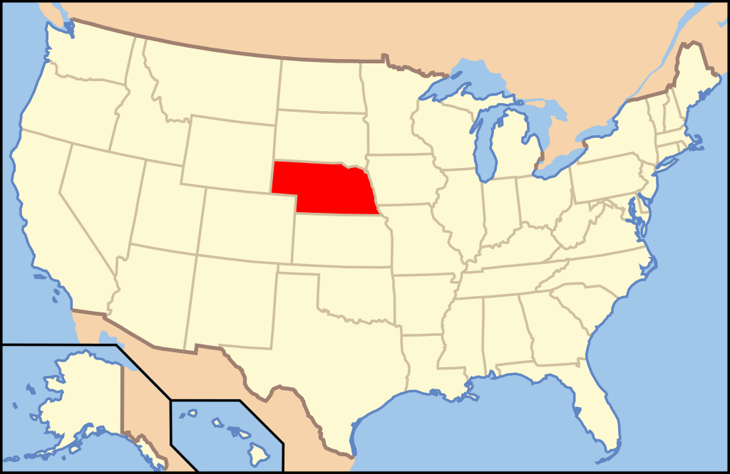
| Description | Map of USA with Nebraska highlighted | ||||||||
| Date | see file history below. | ||||||||
| Source | own work by uploader, based on Image:Map of USA without state names.svg | ||||||||
| Author |
This version: uploader Base versions this one is derived from: originally created by en:User:Wapcaplet |
||||||||
| Permission (Reusing this file) |
This file is licensed under the Creative Commons Attribution 2.0 Generic license.
|
||||||||
| Other versions | image:Map of USA with state names.svg |

File history
Click on a date/time to view the file as it appeared at that time.
| Date/Time | Thumbnail | Dimensions | User | Comment | |
|---|---|---|---|---|---|
| current | 09:24, 9 June 2006 | | 286 × 186 (167 KB) | Huebi~commonswiki (talk | contribs) | {{Information| |Description=Map of USA with Nebraska highlighted |other_versions=image:Map of USA with state names.svg }} Category:Maps of the United States Category:Maps of Nebraska Category:SVG maps {{GFDL-en}}{{cc-by-2.0}}{{cc-by-sa- |
You cannot overwrite this file.
File usage on Commons
The following 12 pages use this file:
- Locator maps for U.S. states
- File:Map of USA NE.svg
- File:Map of USA highlighting Nebraska.png
- Category:Cities in Nebraska
- Category:Geography of Thomas County, Nebraska
- Category:Locator maps of cities in Nebraska
- Category:Locator maps of counties of Nebraska
- Category:Maps of Nebraska
- Category:Maps of Thomas County, Nebraska
- Category:Populated places in Thomas County, Nebraska
- Category:Thomas County, Nebraska
- Category:Transport in Thomas County, Nebraska
File usage on other wikis
The following other wikis use this file:
- Usage on af.wikipedia.org
- Usage on ang.wikipedia.org
- Usage on an.wikipedia.org
- Usage on arc.wikipedia.org
- Usage on ay.wikipedia.org
- Usage on az.wikipedia.org
- Usage on az.wiktionary.org
- Usage on ban.wikipedia.org
- Usage on ba.wikipedia.org
- Usage on be-tarask.wikipedia.org
- Usage on bg.wikipedia.org
- Адамс (окръг, Небраска)
- Антълоуп
- Банър
- Блейн (окръг, Небраска)
- Бойд (окръг, Небраска)
- Бокс Бют
- Браун (окръг, Небраска)
- Бун (окръг, Небраска)
- Бърт
- Бътлър (окръг, Небраска)
- Бъфало (окръг, Небраска)
- Вали (окръг, Небраска)
- Гардън
- Гарфийлд (окръг, Небраска)
- Гейдж
- Госпър
- Грант (окръг, Небраска)
- Грийли (окръг, Небраска)
- Дакота (окръг, Небраска)
- Джеферсън (окръг, Небраска)
- Джонсън (окръг, Небраска)
- Диксън (окръг, Небраска)
- Додж (окръг, Небраска)
- Доусън (окръг, Небраска)
- Доъс
- Дъглас (окръг, Небраска)
- Дънди (окръг)
- Дюъл (окръг, Небраска)
- Йорк (окръг, Небраска)
- Кас (окръг, Небраска)
- Кийт
- Кимбол
- Кия Паха
- Клей (окръг, Небраска)
- Колфакс (окръг, Небраска)
- Къминг
- Кърни (окръг)
- Къстър (окръг, Небраска)
View more global usage of this file.