File:NYC wideangle south from Top of the Rock.jpg
Size of this preview: 800 × 562 pixels. Other resolutions: 320 × 225 pixels | 640 × 449 pixels | 1,024 × 719 pixels | 1,280 × 899 pixels | 2,560 × 1,798 pixels | 3,328 × 2,337 pixels.
Original file (3,328 × 2,337 pixels, file size: 1.87 MB, MIME type: image/jpeg)
This is a file from the Wikimedia Commons and may be used by other projects. Information from its description page there is shown below. Commons is a freely licensed media file repository. |
Summary
| Camera location | | View this and other nearby images on: OpenStreetMap |
|---|
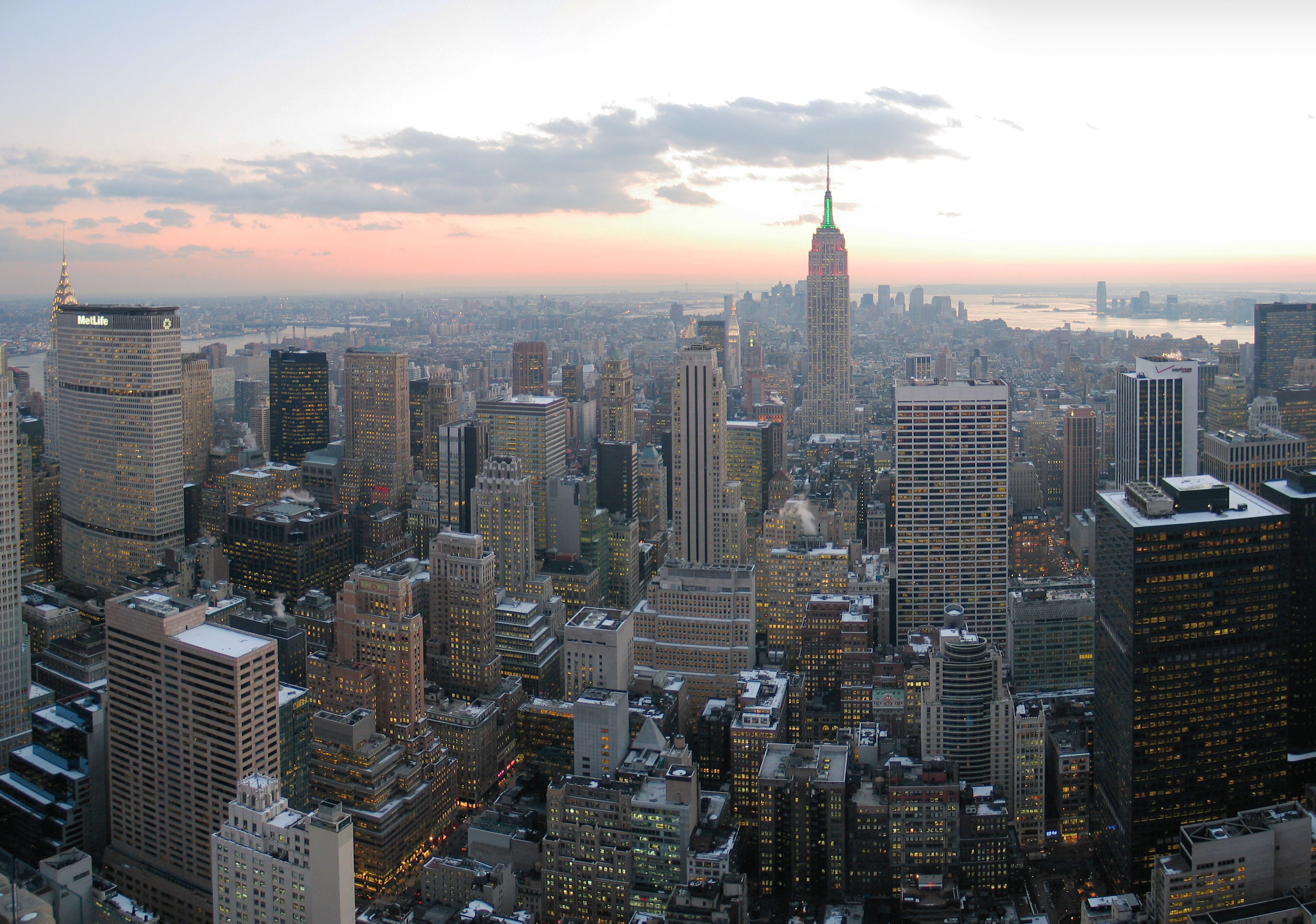
| Description | English: Looking south from Top of the Rock, New York City This image was created with Hugin. |
| Date | |
| Source | Own work |
| Author | Daniel Schwen |
| Other versions |
This image has been assessed using the Quality image guidelines and is considered a Quality image. |
Licensing
I, the copyright holder of this work, hereby publish it under the following license:
This file is licensed under the Creative Commons Attribution-Share Alike 2.5 Generic license.
- You are free:
- to share – to copy, distribute and transmit the work
- to remix – to adapt the work
- Under the following conditions:
- attribution – You must give appropriate credit, provide a link to the license, and indicate if changes were made. You may do so in any reasonable manner, but not in any way that suggests the licensor endorses you or your use.
- share alike – If you remix, transform, or build upon the material, you must distribute your contributions under the same or compatible license as the original.
File history
Click on a date/time to view the file as it appeared at that time.
| Date/Time | Thumbnail | Dimensions | User | Comment | |
|---|---|---|---|---|---|
| current | 17:59, 22 February 2008 | | 3,328 × 2,337 (1.87 MB) | Dschwen | Reverted to version as of 12:29, 27 February 2007, you are welcome to upload an edit as a separate file. But the whitebalance on the original is much closer to what I experienced on that evening. |
| 04:25, 7 February 2008 |  | 3,328 × 2,337 (1.93 MB) | Howard61313 | {{Information |Description=Looking south from Top of the Rock, New York City |Source=Own work |Date=Dec 6th, 2005 |Author=Daniel Schwen |Permission=See license |other_versions= }} | |
| 12:29, 27 February 2007 |  | 3,328 × 2,337 (1.87 MB) | Dschwen | {{Information |Description=Looking south from Top of the Rock, New York City |Source=Own work |Date=Dec 6th, 2005 |Author=Daniel Schwen |Permission=See license |other_versions= }} |
File usage
The following page uses this file:
Global file usage
The following other wikis use this file:
- Usage on af.wikipedia.org
- Usage on an.wikipedia.org
- Usage on ar.wikipedia.org
- Usage on arz.wikipedia.org
- Usage on ast.wikipedia.org
- Usage on be.wikipedia.org
- Usage on bn.wikipedia.org
- Usage on bn.wikivoyage.org
- Usage on br.wikipedia.org
- Usage on bs.wikipedia.org
- Usage on ca.wikipedia.org
- Usage on cs.wikipedia.org
- Usage on cy.wikipedia.org
- Usage on de.wikipedia.org
- Usage on el.wikipedia.org
- Usage on en.wikipedia.org
- Mid-Atlantic (United States)
- Talk:Skyline
- User:Raime/Skyline rankings
- List of the largest urban agglomerations in North America
- Talk:New York City/Archive 11
- User:Nabil rais2008/sandbox109
- Talk:City/Archive 1
- Wikipedia talk:Featured and good topic questions/Archive 4
- Talk:Manhattan/Archive 2
- Wikipedia:VideoWiki/Schizophrenia
- User:ItsAdyFx/sandbox
- Usage on en.wikibooks.org
- Usage on en.wiktionary.org
- Usage on eo.wikipedia.org
View more global usage of this file.
🔥 Popular: